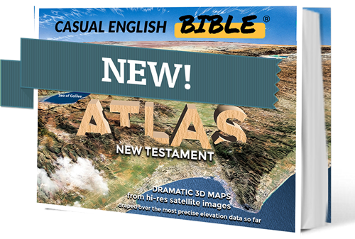
Casual English Bible's® first printed book
Paperback: Amazon
Best New Testament maps from the Casual English Bible®
BIBLE MAPS JUST GOT AN UPGRADE—courtesy of hi-res satellite images draped over the most precise elevation data so far, harvested from competing international space agencies.
Magnificent and dramatic 3D maps of Bible lands-stunningly displayed in fascinating detail allow us to tell the story of Jesus and the birth of the Christian church like never before.
These maps – more than 70 of them-are some of the best of the best New Testament maps we’ve created so far in the growing library of maps and Bible study resources for the Casual English
Bible.®
This is a new Bible paraphrase that’s free and online at CasualEnglishBible.com. The Old Testament is still being paraphrased and mapped.
Many Casual English Bible® Atlas maps do far more than show locations and give a feel for the lay of the land. They resemble art suitable for framing. This is a tribute to the beauty of the landscape and to the precision with which we can now recreate the land in 3D-style images.
This comprehensive New Testament atlas presents stunning detail and remarkable insight into the land of hills and valleys and deserts, which many call the Holy Land. It’s sacred to Christians because of the life and ministry of Jesus Christ. It’s also sacred to Jews and Muslims because they trace their story to Abraham. The Bible says God promised this land to his descendants.
