I’VE BEEN WAITING ALL SUMMER for this.
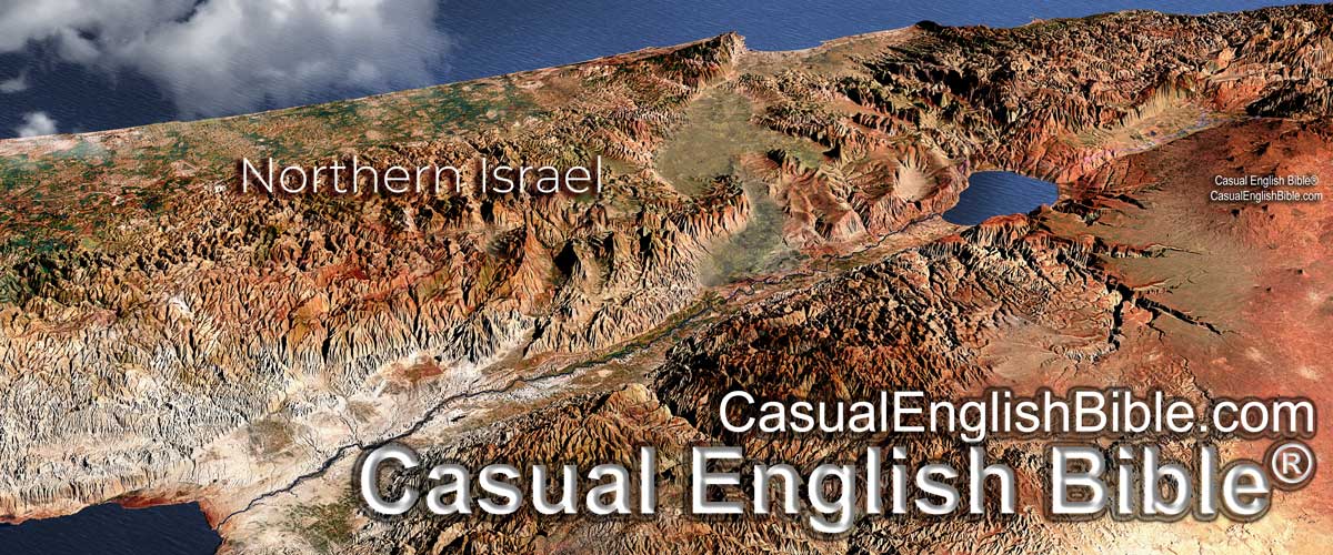
I discovered on Friday night that NASA had finally released the new and improved elevation data for the Middle East. That’s the stuff I need to make better maps for Bible study.
The resolution NASA offered earlier provided data points on the ground for every 90 meters. The new resolution plugs in data points every 30 meters. That means more detail in the kind of 3D maps I like to use in my books.
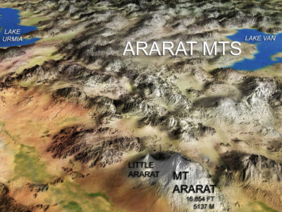
I’m working now on a book about the stories in Genesis. So I’ve got to have a map about Mount Ararat. That’s where many Christians seem to think Noah’s ark came to rest after the Flood.
I’m taking bets that they’re wrong.
The Bible says only that “The boat came to rest on the mountains of Ararat” (Genesis 8:4).
The Ararat Mountains stretch about as long as the Rocky Mountains. So if we jump to the conclusion that the ark stopped on Mount Ararat, just because it’s the highest mountain, the odds are against us.
If Noah had been sailing in the Rockies, he might have landed on a high mountain like Mount Elbert or Pike’s Peak. Or maybe it would have been a much smaller mountain if he had been sailing hundreds of miles away.
I’m just starting to play around with maps that use this new data. I thought you might enjoy taking a look at my very first attempt at using the data.
I’ll get better by the time I create the Ararat map for the book.
For more about Mount Ararat and the Flood
- “Waterworld: Noah’s Flood – worldwide or regional,” A Quick Guided Tour Through the Bible, pages 16-18
- Mount Ararat: No parking
- Noah may not have landed on Mt. Ararat
- “Mount Ararat,” Who’s Who & Where’s Where in the Bible, 2.0, pages 328-329
- Noah’s Ark, the 3-minute video


Leave a Reply